
ScanAce
ITS Geo Solutions GmbH
No ratings yetUtilitiesAges 4+
Screenshots



About this app
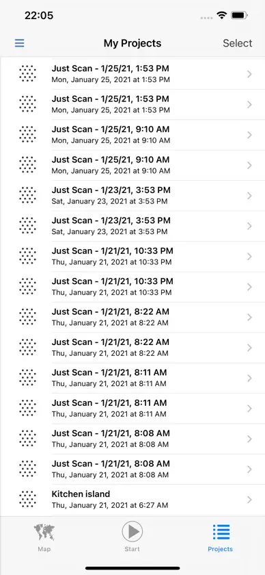
ScanAce is a professional 3D scanning app for surveyors, construction and utility workers, archeologists, architects, and GIS professionals. It turns your smartphone or tablet into a handheld imaging laser scanner and allows you to precisely capture the reality around you and generate accurate 3D models for planning, documentation or digital twins. All processing is done on your device, no other services or cloud connections are needed. It is using Augmented Reality and SLAM positioning technology on your iPhone or iPad. You can connect your RTK GNSS to achieve a precise georeference. Features: - 3D scanning - Standard mode: 350.000 points/second - Extreme high mode: 1.000.000 points/second - 3D-model viewer - Geo-reference your scan and share with the GeoAce app - Export the RGB point cloud in E57, LAS, LAZ formats - Export textured 3D-model to OBJ, USDZ formats The Free version includes all the above features, except the geo-referencing function and scanning is limited to one recording of maximum 20 s every 15 min. All new users can evaluate the Professional subscription (no limitations) 7 days for free. For further information: •ScanAce Privacy Policy: https://its-geo.eu/Privacy.html • ScanAce Terms and Conditions: https://its-geo.eu/terms-of-service.html
What's new
Version 25.3 · Nov 11, 2025
- Support iPhone 17 Pro and 17 Pro Max - Support LAS and LAZ export - Direct Upload of SODEX SDX-Cloud - Improved accuracy and performance
In-app purchases
The most popular purchases on the App Store.
- Professional - MonthlySubscriptionUSD 49.99 / month
- Professional - AnnualSubscriptionUSD 399.99 / year
More from ITS Geo Solutions GmbH


You might also like
 KickTheMapKickTheMap Sarl
 XR Scan: 3D Scan with LiDARSpacific Engineering UG (haftungsbeschränkt)
 Sodex MobileSodex Innovations GmbH
 3D Lidar ViewerHAN WEI WANG
 LiDAR To Go FieldThe People Group
 RTAB-Map - 3D LiDAR ScannerMathieu Labbe
 DepthScan 3D ScannerMaulana Rizal Hilman
 Sakura3D SCANArmonicos Co., Ltd.
 SKM AR ViewerS.K.M. Informatik GmbH
 Dornheim 3D ScannerDornheim Medical Images GmbH