Interatlas
The Augmented Text Company LTD
No ratings yetEducationAges 4+
Screenshots


About this app
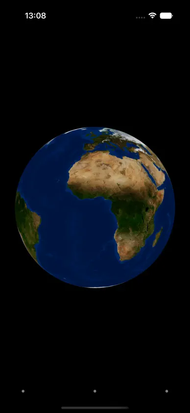
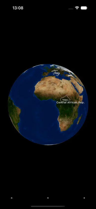
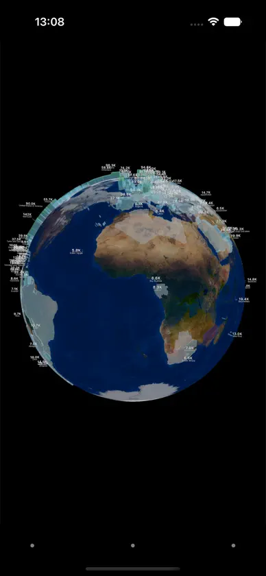
Interatlas is a different kind of atlas. It's not a map of streets and navigation, it's a way of looking at our world to gain new perspectives. At first, it's just a globe. Tap any country, ocean or city to reveal its borders and brush up on your geography. Pinch to zoom in for state and province lines and capital cities. View it plain or with real-time day/night shading, clear skies or live cloud cover. Tap 'Extrusions' to lift data off the surface: population, GDP and more, rising as colored columns from every country. You can also choose to focus on different 'Levels' (Ocean, Earth or Atmosphere). You can then choose which 'Layers' should be visible, including air travel routes, shipping lanes, ocean currents and much more. When you are not actively exploring, Interatlas can act like a screen saver (hint: ESC to go in and out of full screen). It's an astronaut's data view of our home.
What's new
Version 35 · Oct 6, 2026
Interaction polish.
In-app purchases
The most popular purchases on the App Store.
- Pro VersionConsumable0,99 $US