
StraboField
The University of Kansas
No ratings yetUtilitiesAges 4+
Screenshots

About this app
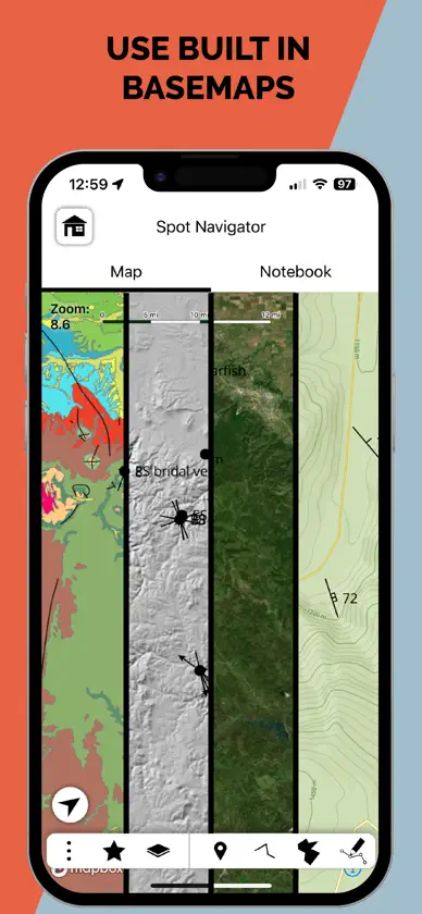
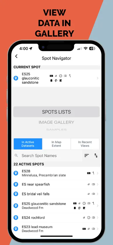
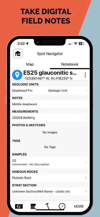
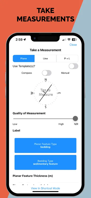
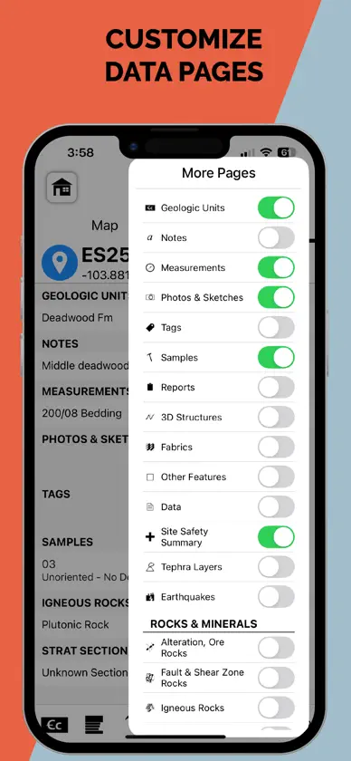
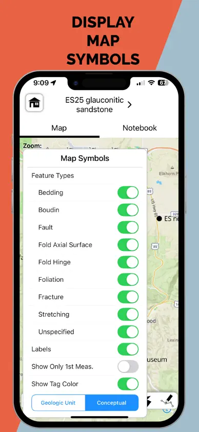
StraboField is a powerful, all-in-one mobile app designed to streamline your geological fieldwork. Record observations, capture photos and sketches, collect orientation data, create geologic maps and stratigraphic sections — all from a single, map-centered platform. Easily collect spatially referenced data using point, line, or polygon-based Spots. Work across multiple scales using nested Spots and high-resolution image basemaps. Designed by geologists, for geologists, StraboField supports workflows across subdisciplines including structural geology, sedimentology, petrology, volcanology, and geomorphology. ** Key Features: ** * Capture field data with photos, sketches, and notes * Collect georeferenced orientation and spatial data * Use custom or built-in basemaps offline * Create multi-scale observations with nested Spots * Organize and back up data locally or to StraboSpot.org * StraboField is fully functional offline, making it ideal for remote fieldwork. Once online, your data can be synced to the StraboSpot digital data system at StraboSpot.org — an open- source platform supported by the National Science Foundation.
What's new
Version 2.32.1 · Nov 4, 2026
Templates menu: no longer crashes when a template group holds two or more templates. To see all the changes in 2.32.0+ see https://github.com/StraboSpot/StraboField/releases#release-v2.32.0
More from The University of Kansas
 Quarked! Matter MechanicThe University of Kansas
 CW-FITThe University of Kansas
 KU EventsThe University of Kansas
 SubmaxThe University of Kansas
 Prostate NetworkThe University of Kansas
 Dementia CareAssistThe University of Kansas
 KU Engineering ConnectorThe University of Kansas
 University Daily KansanThe University of Kansas


