
Tarus
Misterios Limited
No ratings yetUtilitiesAges 4+
Screenshots







About this app
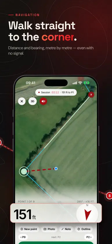
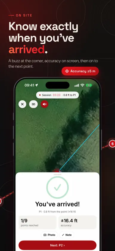
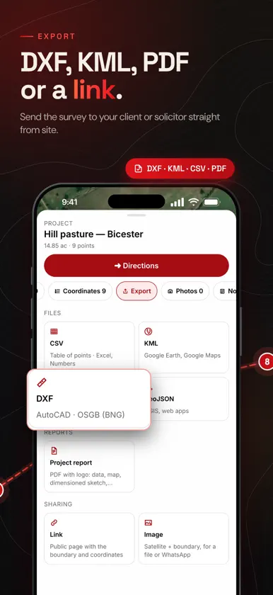
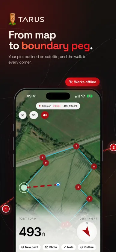
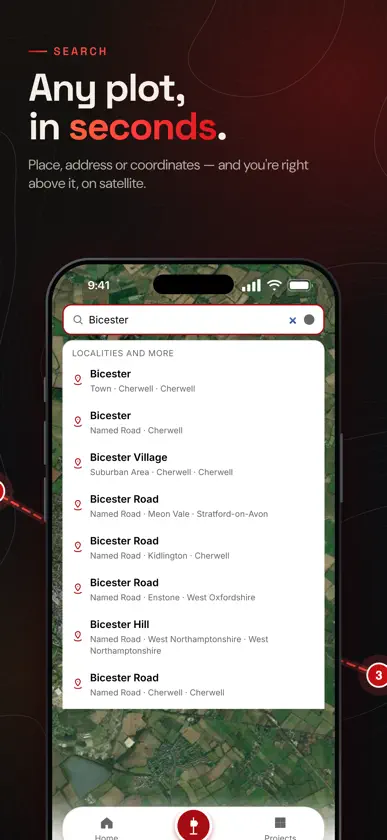
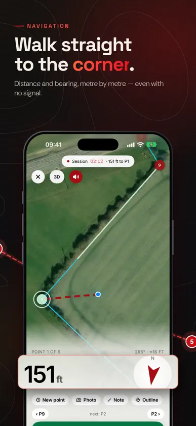
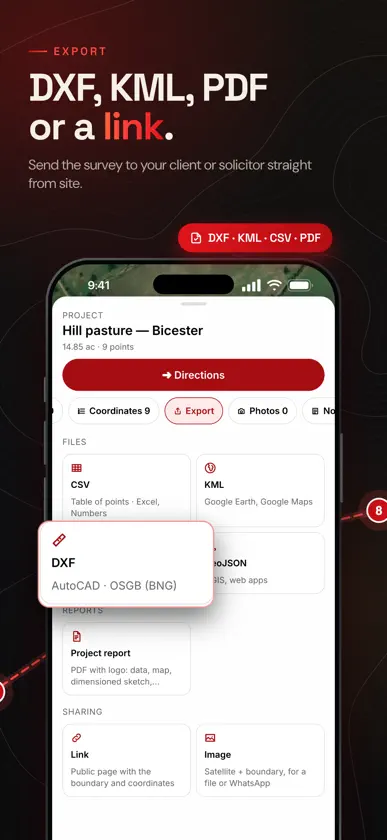
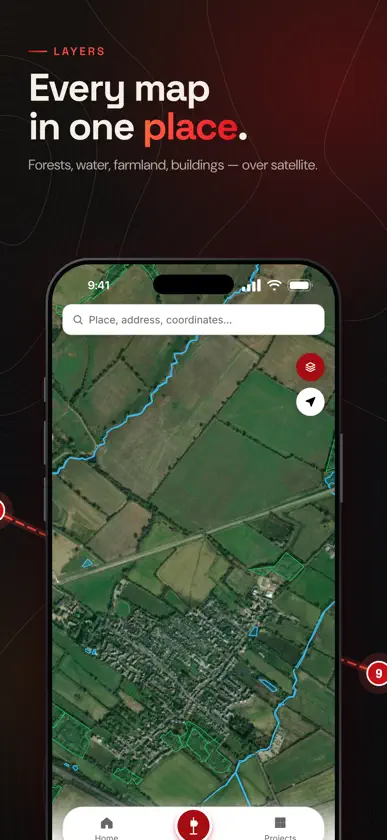
Every land map in one app. See the boundary of any land parcel on satellite imagery, copy its corner coordinates in the British National Grid or WGS84, save the job in a project and walk to every corner, even where there is no signal. AT THE OFFICE • Search by INSPIRE ID or locality and see the parcel outline on satellite • Corner coordinates, area, side lengths and neighbouring parcels • Projects of up to 50 parcels, with photos, notes, documents and drawings • Export to DXF, KML, CSV, GeoJSON, a PDF report or an image, or send a public link to a client, solicitor or court IN THE FIELD • Offline map: download the satellite map and outlines of a project before you set off • Navigate to a corner: distance, direction, a sound that speeds up and a vibration as you get close • Motion sensors steady your position near the corner, where GPS alone jumps about • Measure by walking: mark the corners along the boundary and record the outline ALL THE LAYERS • Forests, water, flood zones, protected areas, terrain and 3D relief • Several European countries, each with its own coordinate system and local units (metres or feet, hectares or acres) • 30 languages, the Tarus Academy user guide and a support chat inside the app Made for surveyors, solicitors, estate agents, farmers and anyone who works with land. SUBSCRIPTION Free: 5 parcel views per day in each country and the core tools; everything you save in a project stays free. Tarus Pro (monthly, auto-renewing subscription) unlocks unlimited parcel views and projects, offline maps, DXF export and public links. Payment is charged to your Apple ID account at confirmation of purchase. The subscription renews automatically unless it is cancelled at least 24 hours before the end of the current period. You can manage or cancel it in your Apple ID account settings. Tarus brings together public data for information only. It is not an official document and does not replace documents issued by the competent authority. Terms of Use: https://tarus.app/termeni.html Privacy Policy: https://tarus.app/confidentialitate.html
What's new
Version 2.0.2 · Nov 5, 2026
Tarus 2.0.2 • The ruler is back on the map: distance, perimeter and area; drag points to move them • Go to coordinates: WGS84 or your national system, decimal or degrees-minutes-seconds • Drawing in projects: length of every side, drag points with your finger, fine-tune the last side with + / −, point coordinates and drawing area • “Sides” button in projects: side lengths and area on the outline, parcels and drawings • Stability improvements
In-app purchases
The most popular purchases on the App Store.
- Tarus ProSubscription49,00 kr / month
You might also like
 Cât se Dă: Calculator DaruriMihai Alin Diaconu
 Parcari Targu JiuIndustrial Software SRL
 SOMA BacăuEventya
 Transport Tax Moșnița NouăDIBALCRIS APPRAISAL SERVICES S.R.L.
 CityZenDispeceratul Civic
 MD.ifyVexellab Solutions LLP
 S.O.S. InfoConsAsociatia InfoCons
 Days Event Counter: TrackifyTheodor Ungureanu
 SOMA SibiuEventya
 MyCarAlertCOMPUTER FORCE SRL