
ElevationCheck
ONTRAILS
No ratings yetUtilitiesAges 4+
Screenshots


About this app
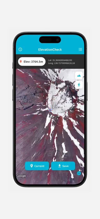
"ElevationCheck" is a convenient app that provides instant elevation information. Utilizing GPS, it accurately displays your current elevation. You can also move a pin to any location on the map to get elevation data for that specific point. Important elevation data can be saved as a list for future reference, or shared with friends and family in text format. The app also features a satellite map view, allowing for more detailed terrain information. Important Notes: An internet connection is required to use this app. Subscription Please refer to the following for terms and conditions for using subscriptions. 1. Privacy Policy: https://ontrails.jp/app/privacy-policy/elevationcheck/ 2. Terms of Use: https://www.apple.com/legal/internet-services/itunes/dev/stdeula/
What's new
Version 1.3.1 · Aug 15, 2026
Improved performance.
In-app purchases
The most popular purchases on the App Store.
- 1 Month PlanSubscription$3.99 / month
More from ONTRAILS


You might also like
 Altimeter & BarometerSHIGETO TAKAGI
 Level gaugeTatsuki
 DabbssonSHENZHEN DAIPUSEN
 My Number Card Check Appデジタル庁
 節電Battery Life for iPhonemirai sato
 Fuel Record: Gas Cost TrackerTakeshi Ejiri
 DIPS APP - Drone Portal AppNext Generation Air Mobility Planning Office Japan Civil Aviation Bureau MLIT
 Stopwatch + reading out loudYUTAKA KENJO
 Smart Digital & Analog ClockYuuki Shimizu