
Wegwiesel
Thomas Peterson
No ratings yetNavigationAges 4+
Screenshots


About this app
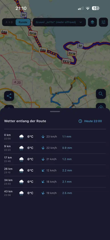
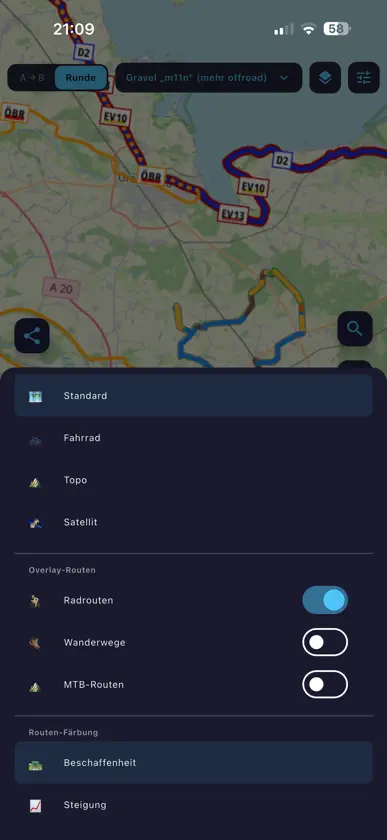
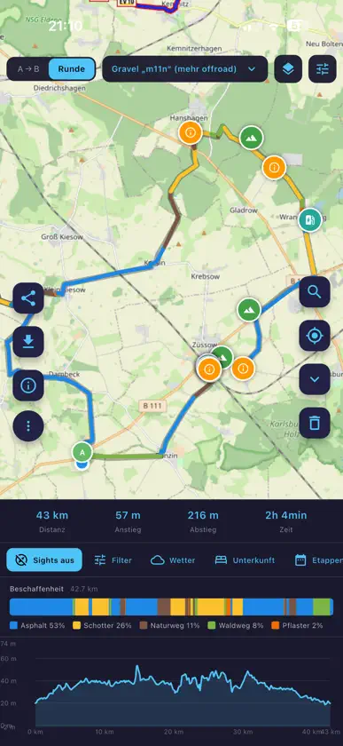
Wegwiesel is a lean, ad-free route planner for cycling, hiking, running and driving. Plan tours, navigate offline, record your rides — no account, no tracking, no subscription. ONE PLANNER, MANY PROFILES • Cycling: road, gravel, trekking, MTB, e-bike • Hiking: easy, sporty, mountain — with SAC T1–T6 grading • Running, car (130 km/h), car with trailer (80 km/h) OFFLINE-FIRST • Map tiles are cached automatically — anything you've looked at is available offline • Offline maps menu to pre-download viewports (zoom 8–15) • Real offline router with a pure-Dart A* core and trekking profile, clean fallback to BRouter • Saved routes work fully without a network LIVE NAVIGATION • Phone turn-by-turn with spoken voice (German + English) • Map heading-up or north-up, ETA shown as clock time • Automatic re-routing when you drift more than 50 m off course • Apple Watch companion: next turn, distance and remaining time on the watch face — phone stays in the pocket RECORD YOUR RIDE • GPS tracking with live stats (distance, speed, ascent, calories) • Pause/resume, GPX export when done • Crash-safe — every 10 points are flushed to disk • Share your live position: 12-hour link, no account HIKING & BIKEPACKING • Prominent hiking difficulty preset, prefer-waymarked-trails toggle • Stage planner with sunrise/sunset, weather forecast and automatic overnight suggestions • Pause recommendations: one picnic spot or shelter every 1.5 h of walking • Bikepacking mode with camping, water, shelters and train stations in the POI search DISCOVER ROUTES • Public route library: publish your tours with one tap • Filter by distance, proximity and search term • Heatmap overlay shows where the community rides SURFACE & MAP • Route colored by surface type (asphalt, paving, gravel, unpaved, offroad) • Elevation profile with hover sync, 6 color modes • Hillshading overlay for terrain context • Sights along the way with Wikipedia thumbnails EXPORT & DEVICES • GPX export for any bike computer • Push routes via Bluetooth straight to the Garmin Edge (custom Connect IQ app) • Hand off to the Wahoo Companion app (Bolt/Roam/Ace) • Import tour URLs (e.g. Komoot tour links) FOR ATHLETES • FTP test segment finder: matching climb or flat segments in a radius, scored by test type (20-min, 8-min, Ramp, Sweet Spot) WHAT WEGWIESEL DOESN'T DO • No tracking cookies, no ads, no user profiles • No subscription, no in-app purchases • No forced cloud sync Wegwiesel is a free project by a cyclist for everyone who heads outdoors. Feedback welcome. Based on BRouter and OpenStreetMap.
What's new
Version 2.4.7 · Oct 21, 2026
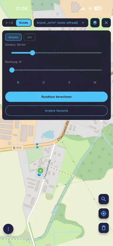
What's new in 2.4.7 • Cleaner map screen: the top bar now shows only mode, bike type and a More menu. Routing options, map style, round-trip settings and route sources (saved, discover, GPX, tour URL, training route) live there now. • The round-trip panel can be closed and reopened by tapping "Round trip". • Routing preferences: the Save button no longer covers the switches; the dialog scrolls. • Connection fix: on IPv6 networks (mobile, many DSL lines) route calculation failed with a certificate error. Fixed on the server side. • The support address support@thomas-peterson.de is now reachable. Thanks for your feedback via reviews!


