
Screenshots




About this app
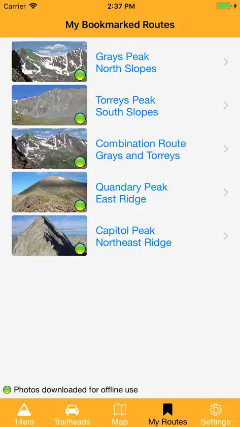
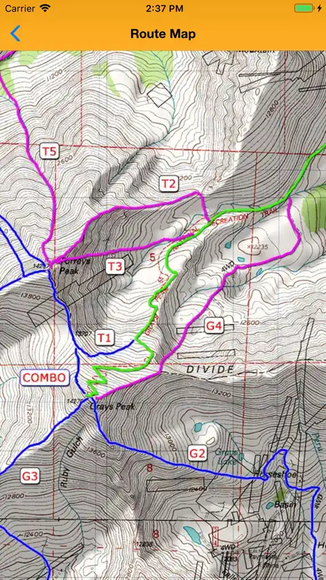
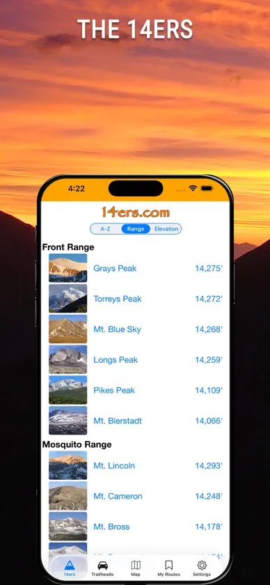
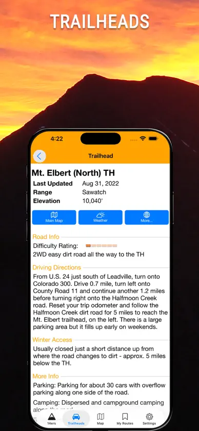
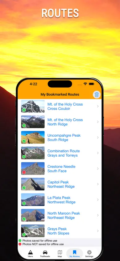
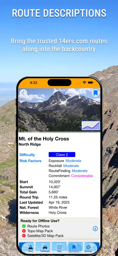
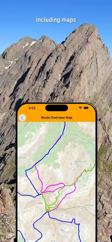
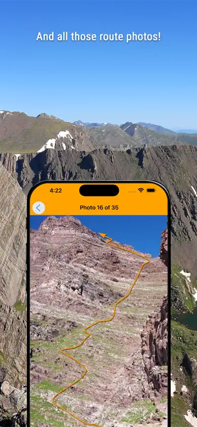
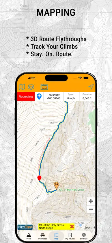
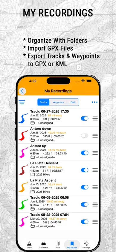
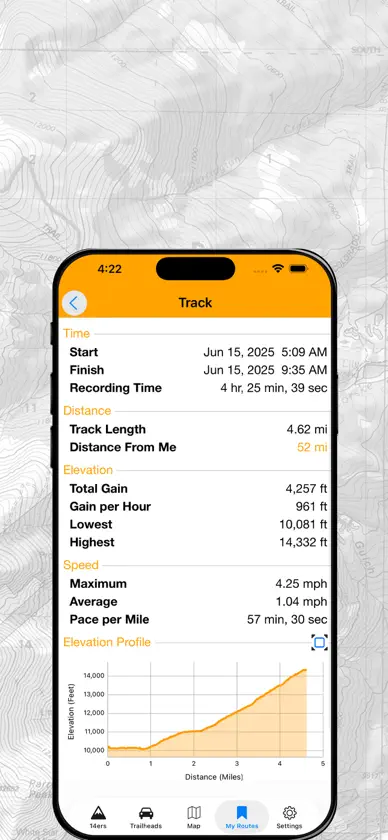
Official 14ers.com app for Colorado's 14ers (mountains 14,000+ feet of elevation). Take the trusted 14ers.com route descriptions with you into the backcountry! With this app, you'll have access to peak information, route descriptions, route maps, route photos, trailheads, plus real-time user-contributed peak condition reports. Many 14er routes are far from cell service, but you'll have the information you need even when you're off the grid. Additionally, you can record tracks and waypoints and export them to GPX or KML formats. Mountaineering in Colorado can be very dangerous, and many people have lost their lives on the 14ers. Weather, terrain, and other hikers can put you in situations where your knowledge and experience will be critical. Always do your homework, bring the right gear, and hike with experienced partners to ensure a fun and safe journey. Be safe out there! Bill Middlebrook Breckenridge, CO
What's new
Version 4.0.3 · Aug 14, 2026
On the map, bookmarked route lines are shown by default. Plus, some route page formatting changes.
You might also like
 Colorado Trail ExplorerState of Colorado Governor's Office of Information Technology
 PeakFinderPeakFinder GmbH
 FarOut: Hike, Bike, PaddleAtlas Guides DE, Inc.
 CalTopo: Backcountry MappingCalTopo LLC
 onX Backcountry: Outdoor MaponXmaps, Inc.
 Go ParkwellParkWell Release
 FirstTracksVia Transportation, Inc.
 JustRide BustangAce Express Coaches
 Bustang Outrider m-TixAce Express Coaches
 COOP RideshareMVL Foundation