
Ceres AI
Ceres Imaging, Inc
No ratings yetBusinessAges 4+
Screenshots



About this app
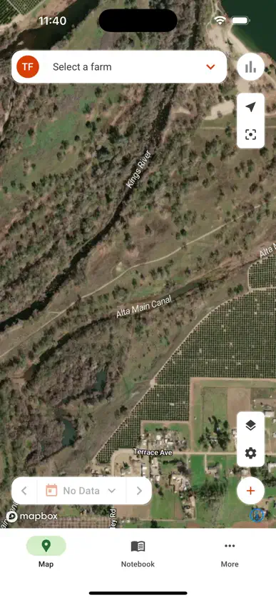
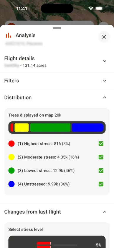
Ceres Imaging provides precise, accurate aerial imagery for agriculture. We believe the future of farming depends on providing growers with the right tools—to cover more ground, make the most of limited resources, and apply skill and experience where they’re needed most. Harness our high-resolution multispectral imagery to improve uniformity, reduce input costs, manage water stress, and identify issues before they impact your crop. On the app, you can: - Easily refer to your imagery on your phone or tablet - Compare imagery of your fields over time - Add notes and photos to help your team work efficiently - Download imagery for offline use
What's new
Version 2.2.0 · Oct 20, 2026
New features: - Drop a marker with GPS exactly where you are standing - Translate a whole marker note in one tap - Plant and tree layers now work offline - Rebuilt Downloads: browse by customer, live progress, pause and resume Improvements: - Downloads show real size and progress, and never save as complete when interrupted - The app recovers on its own after a dropped connection - Search now ignores accents Note: you must download your fields again after this update.


