
Fieldpad
iENGINEERING Corporation
No ratings yetNavigationAges 4+
Screenshots



About this app
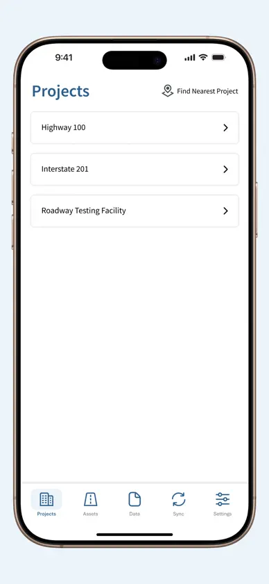
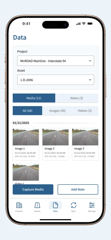
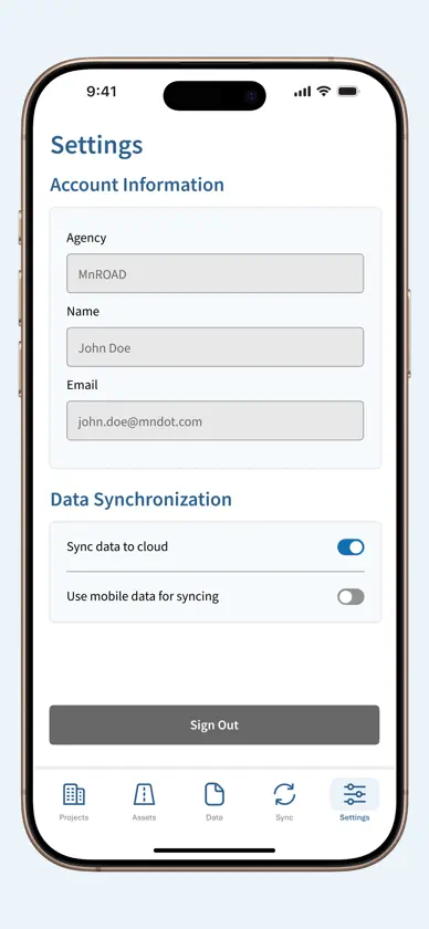
Fieldpad is a mobile application designed for transportation and infrastructure agencies to support structured visual monitoring of infrastructure projects and public assets. The app enables authorized field personnel to capture geotagged photos and videos and associate them with assigned projects and asset categories such as pavement sections, lane markings, signage, traffic signals, and related infrastructure elements. Captured records are organized and synchronized with a secure web-based platform, providing centralized access for monitoring, documentation, and reporting. Fieldpad supports consistent field data collection across multiple teams and locations, helping agencies maintain accurate and organized visual records of roadway and infrastructure assets. Key Features: - Secure user authentication - Access to assigned projects and asset categories - GPS-based project and asset identification - Photo and video capture within the app - Ability to add comments to visual records - Offline data capture - Automatic synchronization when connectivity is available
What's new
Version 1.0.8 · Sep 25, 2026
Improved app stability and overall performance.
More from iENGINEERING Corporation


You might also like
 MyRideCATACapital Area Transportation Authority
 CATA Mobile PayCapital Area Transportation Authority
 ArcGIS NavigatorESRI
 Spot On - MSU ParkingMICHIGAN STATE UNIVERSITY
 LinzMobilLINZ LINIEN GmbH
 PAYUCA Smart ParkingPayuca GmbH
 CARFACE Car Widgets & LyricsKain Suite Pte. Ltd.
 MOTU - Grand Rapids ParkingCity of Grand Rapids, MI
 Track My Train ProMANGOTECH SOLUTIONS
 aFerry – Busca ferrysAFerry