
Screenshots


About this app
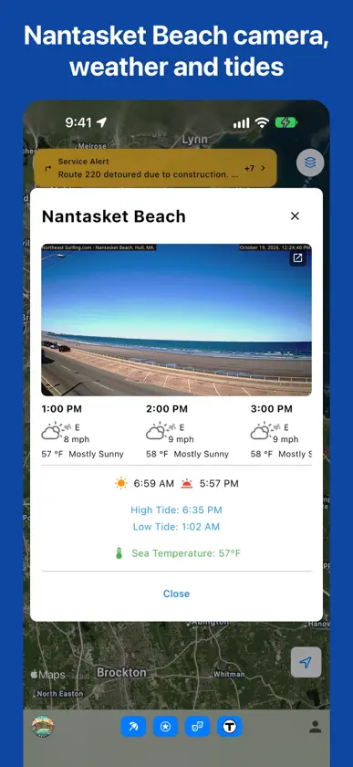
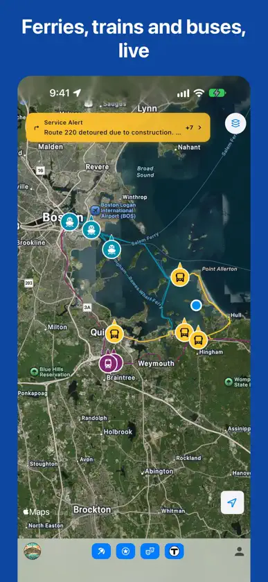
The smart way to experience Hull and the South Shore. HullNext puts Nantasket Beach, the Hull and Hingham ferries, the Greenbush line and the 714 and 220 buses in your pocket. Built for locals, curated for visitors, from hullnext.com. LIVE BEACH CONDITIONS • The Nantasket Beach camera, refreshed through the day • Hourly forecast with temperature and wind • High and low tides, sea temperature, sunrise and sunset Beach camera courtesy of Northeast Surfing. SMART TRANSPORTATION • Watch the ferries, the Greenbush train and the 714 and 220 buses move on the map • Every ferry and train departure with its status: On time, Delayed, Boarding or Cancelled, and the track • MBTA alerts for your trip, including ones that start later • When the Greenbush stops short of South Station, see the Red Line connection at Braintree • Ferries to Boston and Logan Airport, with the walk to your stop • Sign in (free) for live vehicle positions and departure status THINGS TO DO • Restaurants and shops with opening hours, links and photos • Beach access points, historic landmarks, fun for kids, lodging and neighborhoods • Walking or driving time from where you are EVENTS ACROSS HULL • One tap to the hullnext.com events calendar Tap the HullNext logo any time to open hullnext.com.
What's new
Version 3.0.7 · Nov 3, 2026
New: a Notifications inbox. Tap the bell on the map to see Hull's town announcements in one place, even with notifications turned off, and clear them when you're done. In Notification choices, decide which notifications buzz your phone and which only go to the inbox. The app icon now shows how many you haven't read.
More from Martin Davy


You might also like
 See Plymouth MAPlymouth County Development Council, Inc.
 Wrinkles: Audio Tour GuideExplore, Inc.
 Mass511Castle Rock Associates, Inc.
 Martha's Vineyard FerriesLissiland LLC
 GATRA GOSpare Labs Inc.
 Boston Seaport FerryMassachusetts Convention Center Authority
 MBTA Go — OfficialMBTA
 Coast-Enjoy the rideP-Town Coast Inc
 FlyLoganMassachusetts Port Authority
 Aruba Smart MapAruba Smart Map Inc.