
KickTheMap
KickTheMap Sarl
No ratings yetUtilitiesAges 4+
Screenshots


About this app
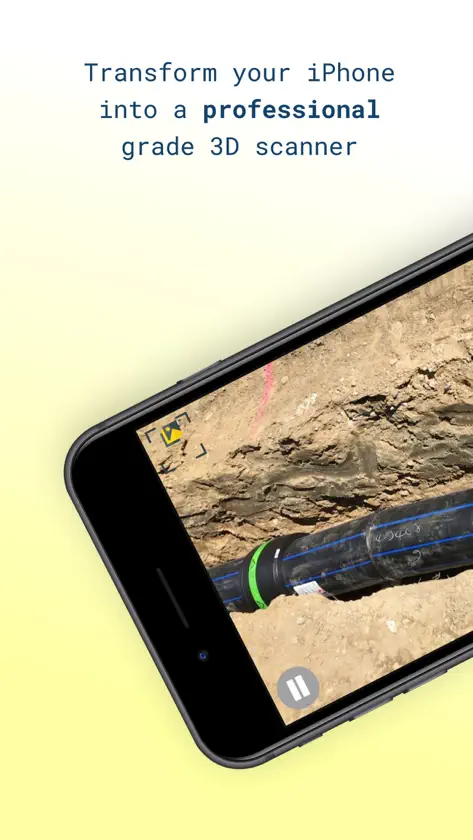
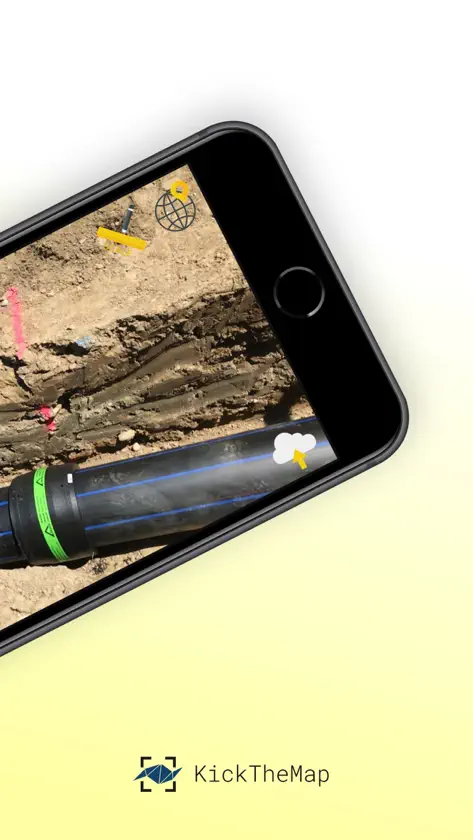
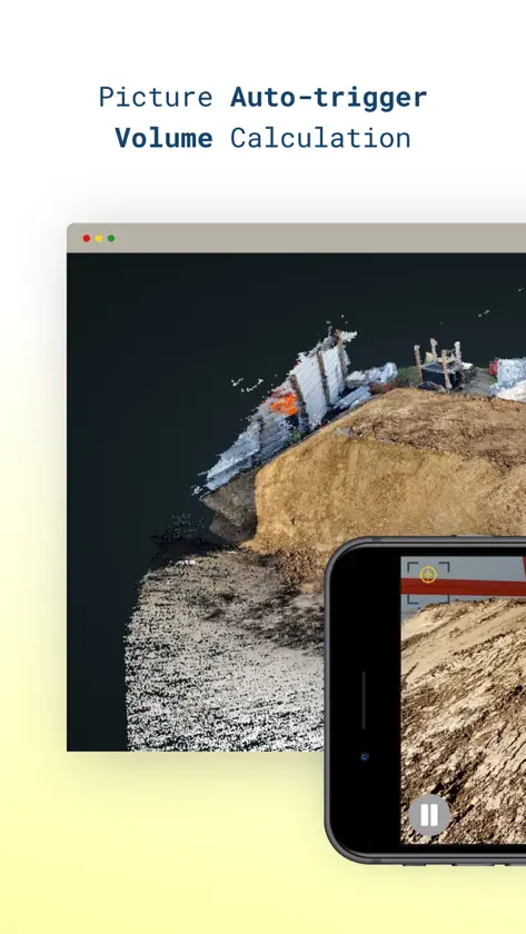
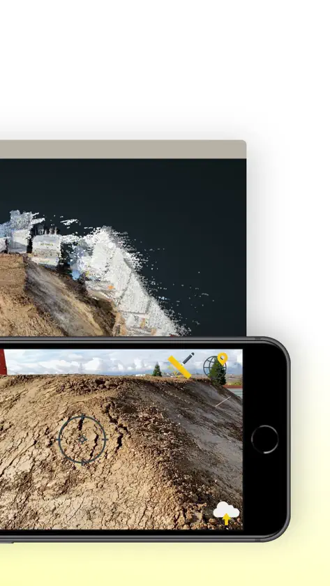
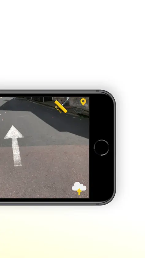
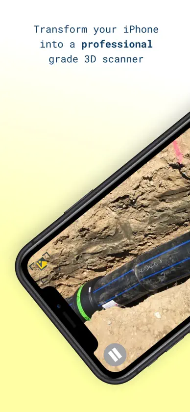
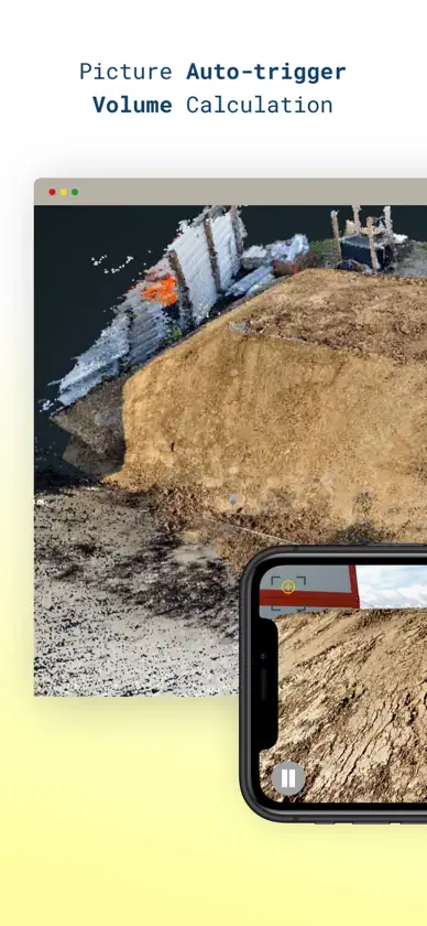
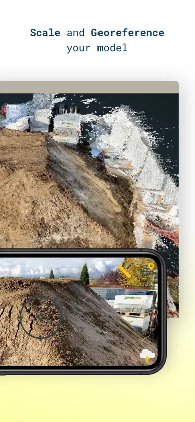
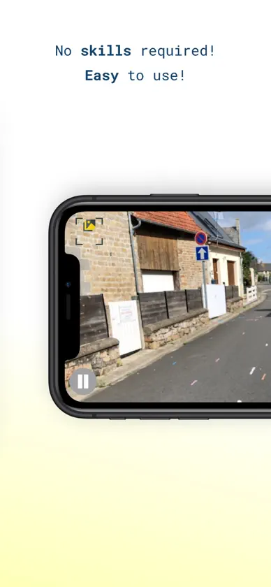
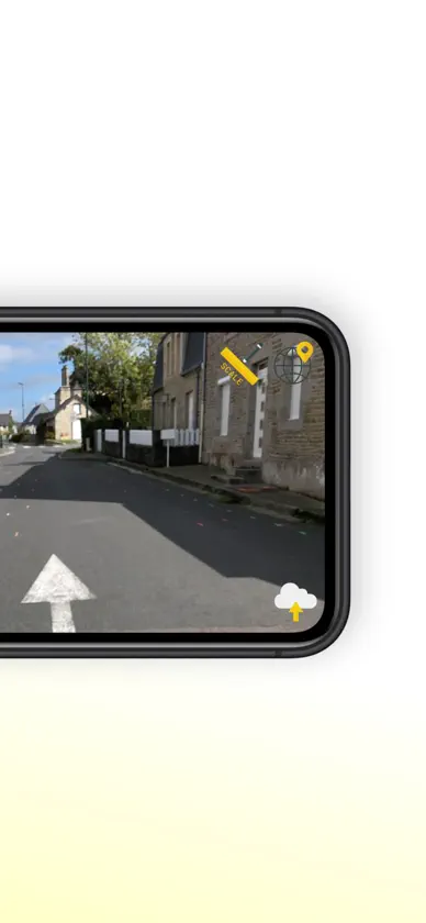
This is the perfect tool for utility mapping, volumes calculation, road mapping and infrastructure modelling (bridges, tunnels, retaining walls..). No prior knowledge required! Just walk around your site and the app works by itself, taking pictures all along the way thanks to an advanced Augmented Reality engine. 3D models are delivered within 24 hours on your personal desktop platform, allowing you to visualise, measure, digitise and export your data. Possibility to scale or georeference your model within the app with simple and intuitive features. App Features: - Picture auto-trigger based on user's motion - 3D model delivered within 24h - Up to 2000 pictures/job - Lightweight pictures for fast upload - Scale your model with a known distance - Georeference your model with on known points - Accuracy of 3 cm (1.2 in) in XYZ - In-app warnings - Unlimited number of jobs - Output quality checks - Offline mode in case of no internet coverage - Pictures counter Platform features: - High-quality visualisation - Fast rendering of millions of points - Distance, height, area - Easy digitisation with points and polylines - Objects attributes to export - Multiple point clouds display - Export objects in DXF, CSV or JSON - Export point clouds in LAS Trial version is limited to 5 projects of 150 pictures max.
What's new
Version 2.9.0 · Oct 22, 2026
- New photo field in forms
You might also like
 ScanAceITS Geo Solutions GmbH
 VIEWAR ScannerViewAR GmbH
 DepthScan 3D ScannerMaulana Rizal Hilman
 3D Lidar ViewerHAN WEI WANG
 SKM AR ViewerS.K.M. Informatik GmbH
 Agerpoint CaptureAgerpoint
 RTAB-Map - 3D LiDAR ScannerMathieu Labbe
 SimpleObjectScankazutaka komiya
 Dornheim 3D ScannerDornheim Medical Images GmbH
 SmartRooms (mit RoomPlan)SevenD GmbH