
Screenshots





About this app
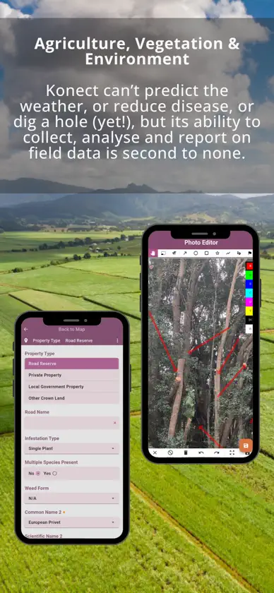
Konect 2 is a ground-up rebuild of the Konect field data collection platform. Same proven workflows. Modern architecture. Designed to work reliably in the real world. ** Konect 2 ** Works anywhere — data is stored and managed on your device first, then synced when you're back in coverage. No more losing work in the field. Data Tabs — complex records are organised into focused, navigable tabs (e.g. Asset, History, Photos, Work Orders, Inspections) instead of long scrolling forms. Multi-basemap support — switch between satellite imagery, street maps and other layers on the fly from within a project. * Core capabilities Konect 2 carries forward the full feature set of Konect: Custom form building with auto-populating fields, role-based variants and photo annotation Points, lines and polygons with vertical topology and snap-to-feature editing Auto GPS drawing for accurate position tracking in the field Data import, collection and export — no coding required Queries and filters for working with large datasets Full audit trail with activity playback Device-level search across forms and records * Who it's for Konect is used by field crews, inspectors, contractors and asset managers across telecommunications, roads and infrastructure, utilities, local government, agriculture and environment, disaster recovery, and maintenance management. If your work involves collecting location-based data in the field, this is the tool. Konect 2 runs alongside Konect v1 Both apps will be available in the store during the transition period. Your existing projects and data are not affected.
What's new
Version 2.0.4 · Oct 30, 2026
Fixed map layers that are coloured or styled by a field value not showing up. Lines set to "solid" in a value-based style were sometimes drawn as nothing, so those features were missing from the map. They now show as solid lines. [K2B-322] The map now loads styles more reliably. If one custom symbol fails to load, the layer's other symbols still appear and the rest of the layer is no longer hidden. Shapes and polygons with no fill or no outline set now display correctly, and direction arrows on lines that use value-based widths are positioned correctly. [K2B-322]
More from Global GBM

You might also like
 OwnerkitMavish Prasad
 Zyna AI: Chat y Editor FotosQismat Ventures W.L.L
 TRIMSForestree Australia Pty Ltd
 ConSol MobileYarris Pty Ltd
 Spray TeknixQuik Corp Pty Ltd
 BossLinkPTE study PTY LTD
 Aus Tax CalculatorDipesh Dhakal
 CVCheck: revisión de CVskybringup
 XugoSystems of the Future (Australia) Pty Ltd
 AsseticBrightly Software, Inc.