
mapryForest
MAPRY Co., Ltd.
No ratings yetUtilitiesAges 4+
Get it free on the App StoreOpens Apple's App Store
Screenshots




About this app
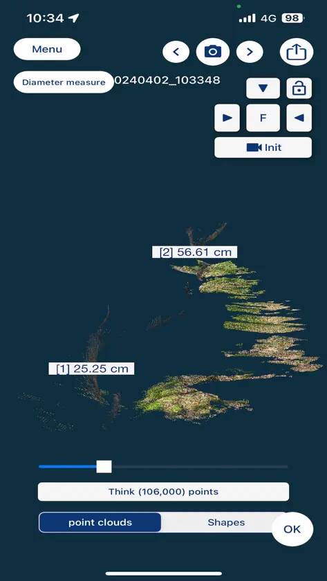
mapryForest is an application that can save and display point clouds taken with the 3D scanner function. While using the 3D scanner function, you can acquire single-tree information such as diameter and longitude/latitude of a single tree by tapping the + icon on a single tree. The acquired point cloud and single tree information can be saved and displayed. ■mapry https://apps.apple.com/jp/app/mapry/id1394357769 ■Web version https://mapry.net
What's new
Version 1.1.4 · Nov 4, 2026
We have made the following changes: ・Updated the library ・Fixed an issue where inaccurate coordinates were recorded ・Fixed an issue where an excessive number of satellites was displayed
More from MAPRY Co., Ltd.


You might also like
 名札交換Ryoga Tanaka
 RefScale: Regla con FotoZhanarys Toremurat
 Brújula topográfica y GPSheekyung moon
 CapDrive: Panel de conducciónChengdu Binfen Creation Software Co., Ltd.
 AnotadíaHaiguang Yin
 Sakura3D SCANArmonicos Co., Ltd.
 AI Mejorador de Video伟会 章
 NFC情報KAZUTOSHI KINOSHITA
 TimbeterTimbeter OÜ
 AUTOFIXER: mantenimiento cocheAdrian Arias