
SIC Maps
Stenger & Ibsen Construction Sverige AB
No ratings yetBusinessAges 4+
Screenshots

About this app
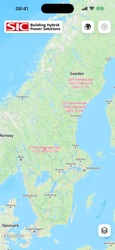
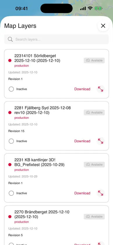
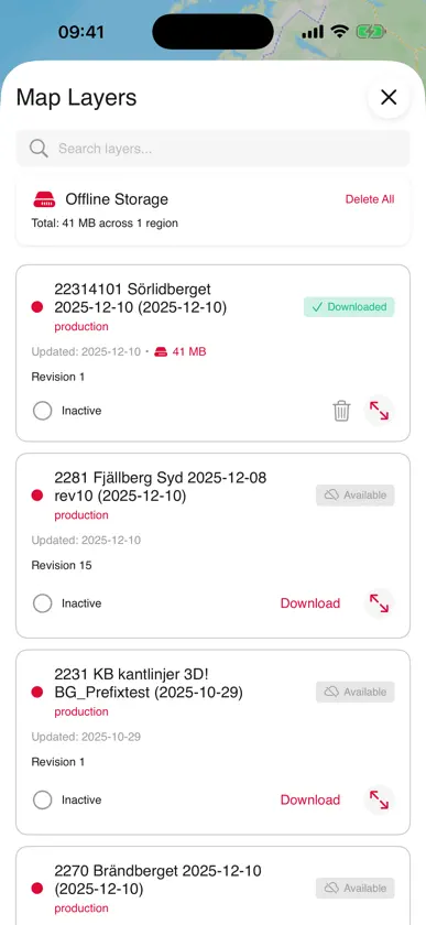
SIC Maps is a field companion app for Stenger & Ibsen Construction teams working on renewable energy and infrastructure projects. Key Features: • Interactive project maps with detailed site layouts • Real-time GPS positioning on project sites • Offline map support — works without cell coverage • Wind turbine, solar PV, BESS, and substation project support • Quick access to roads, hardstands, and cable routes Built for field workers, surveyors, and project managers who need instant access to project layouts while on site. SIC Maps is a field companion app for Stenger & Ibsen Construction teams working on renewable energy and infrastructure projects. Key Features: • Interactive project maps with detailed site layouts • Real-time GPS positioning on project sites • Offline map support — works without cell coverage • Wind turbine, solar PV, BESS, and substation project support • Quick access to roads, hardstands, and cable routes Built for field workers, surveyors, and project managers who need instant access to project layouts while on site. Note: This app is for navigation / field use on Stenger & Ibsen construction projects only.
What's new
Version 1.3.0 · Sep 28, 2026
- Downloaded maps now work fully offline, including after a restart with no signal - Map legend: see what the colours on a drawing mean, also offline - A download that stalls without signal now stops with a clear message instead of hanging - Your map position and base map are remembered between sessions - Location updates now behave the same on Android and iPhone - Open Sans font throughout the app - Many smaller fixes and improvements


