
Screenshots


About this app
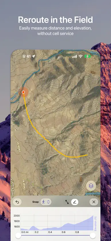
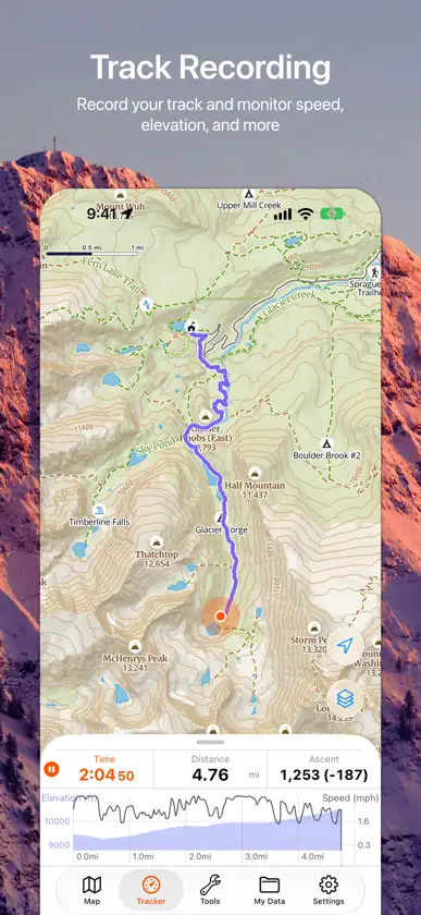
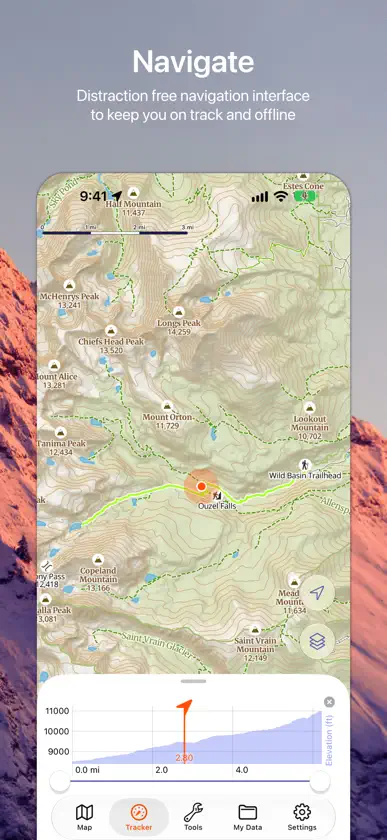
Goat Maps is the next-generation navigation app designed for outdoor adventures. Built from the ground up in 2024, Goat Maps offers unmatched reliability and ease of use, perfect for all your adventures—whether hiking, backcountry skiing, kayaking, biking, or trail running. No distractions, just adventure: Goat Maps is designed by real people who use it daily. We prioritize function over frills, so you'll never deal with pop-ups, intrusive graphics, or unnecessary social features. Goat Maps combines cutting-edge technology with custom-designed maps to help you explore confidently, both on and off the grid. Download today and take your outdoor adventures to the next level! ▶ Key Features • Offline Maps: Navigate confidently without cell service. • Record Tracks: Track your trips and monitor your progress in detail. • Advanced Route Planning: Seamlessly mix snap-to-trail, straight-line, and hand-drawn sections. Plan multi-sport and off trail routes with ease. • Custom Topographic Maps: Designed for maximum readability, so you can focus on your adventure, not your screen. • Multiple Base Maps: Switch between Topo, Satellite, and Hybrid views to get the perspective you need. • World wide map coverage. ▶ Free Trial Many features can be used for free, but offline maps and route planning require a membership, but a 7 day free trial is available. ▶ Feedback For support, general questions or feature requests, contact us at support@goatmaps.com EULA: https://www.apple.com/legal/internet-services/itunes/dev/stdeula/ Privacy Policy: https://www.goatmaps.com/privacy
What's new
Version 2026.10.22 · Oct 27, 2026
This update adds turn-by-turn directions along your routes and tracks, directions to any point on the map, and a new Polygon tool. What's new • Follow a saved route or track with turn alerts. Pick one from the Route cell on the Tracker, or tap Navigate on a route or track. Goat Maps tells you when you go off course and shows the distance to go and your arrival time. Spoken directions are off by default; turn them on with the speaker button. • Navigate to a waypoint, a dropped pin or a place on the map along a route that follows trails and roads. If you leave it, you get a new one. • Tap a peak or another point of interest on the map to save it as a waypoint or navigate to it. • Draw areas with the new Polygon tool. Edges can follow trails and roads like a route does, and tapping the area switches its units. Polygons have their own section in My Data and their own switch in Map Layers. • Vertices snapping puts points exactly on the corners of your other routes and polygons. • Plan routes that follow trails and roads without a connection, in the areas you've downloaded (members). Fixes • The map no longer freezes with a large library of tracks and routes, and draws them much faster. • The Tracker tab shows a red dot while a track is recording. • My Data no longer crashes on waypoints with impossible coordinates.
In-app purchases
The most popular purchases on the App Store.
- Goat Maps MembershipSubscription · 7 days free trial$29.99 / year
You might also like
 Pacific Crest Trail ClosuresPacific Crest Trail Association
 Dont Forget The Spoon - HikingMichael Jones
 No Roadsi3 Product Development, Inc.
 Outmap: Ski & Snowboard MapsTechnologies Outmap Inc.
 PackLight for BackpackingMark Oliveira
 Backtrack: GPS Adventure MapsSlope LLC
 Eastern Sierra CampingApps for Causes LLC
 Campsite: Camping, RVs & MapsCampsite Adventures LLC
 Overland Bound One: Maps & GPSOverland Bound Inc
 SonsOfSmokeySons of Smokey