
inDTSmobile
in-innovative-navigation GmbH
No ratings yetProductivityAges 4+
Screenshots
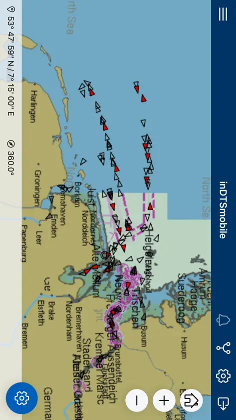
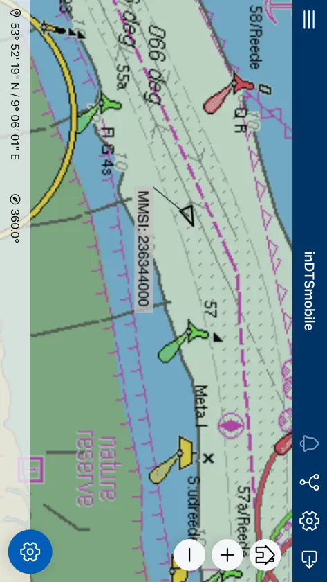


About this app
*** PLEASE NOTE: To use inDTSmobile, it is necessary to be connected to the backend of an inVTS system provided by in-innovative navigation GmbH. *** This app serves as frontend of an inVTS system. inDTSmobile provides view and management of real-time martime traffic. It displays real-time positions of vessels along river sections or coastal waters on top of a nautical chart. Additionally, it presents all available information about the vessels in a table view. This app is suited to be used by port, water police and waterway authorities. Features: * view vessels on a live map and in a table view * get extended vessel and voyage data from inVTS database * notice alarms and warnings generated by inVTS Traffic Analysis System (TAS) * request detailed information about traffic signs and other map elements * display routes, warning areas and corridors * examine depth contours and tide forecasts * use on portable pilot units (PPUs) * follow planned voyages through difficult waterway sections * discover traffic picture in 3-D view
What's new
Version 3.10.0 · Aug 8, 2026
This version now supports research and replay of archived data.
You might also like
 DocReminderAMADOU OURY CAMARA
 ABB RAISEIcona
 Concorde HydraulicsHPC Hydraulics
 SureCall HorizonSureCall, Inc
 OCEANSMARTOceaneering International, Inc.
 FlicBoard - easy Note Takingkota tada
 CaptaynCaptayn Platforms
 A&W Touch Screen UpdaterGessi S.p.A.
 Handover AI: Marine GPTSerhan Cetin
 Cardflow+ Mind Map StoryboardQrayon, LLC