
Screenshots




About this app
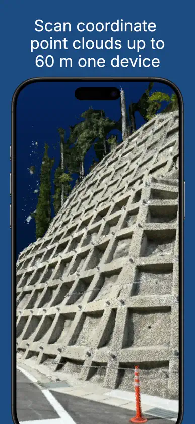
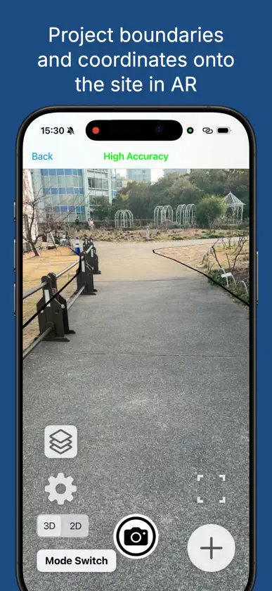
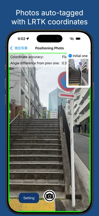
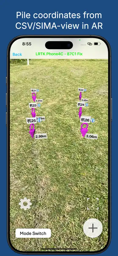
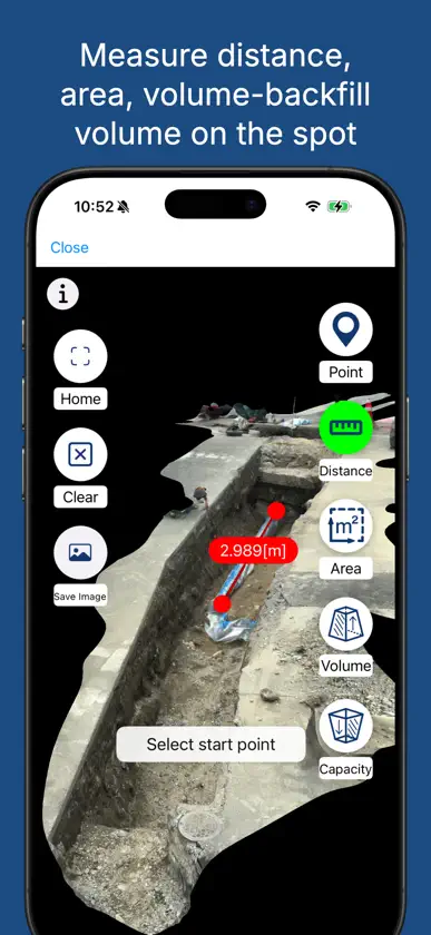
Easily Handle High-Accuracy Survey Data on Your Smartphone This is the dedicated app for the "LRTK" centimeter-level GNSS device (*1). By connecting to the LRTK receiver and configuring Network RTK (NtripClient), you can achieve centimeter-level positioning accuracy. Through integration with the LRTK Cloud (*2), captured location data can be instantly synced and viewed via a web browser. Key Features & Use Cases: • Easy access to high-accuracy surveying. • Instantly share field survey data with office PCs. • Manage location data alongside site photos. • Easily acquire point cloud data. Note on Altitude Calculation: To obtain JGD2011 (Japan Geodetic Datum 2011) altitude, this app utilizes the calculation API provided by the Geospatial Information Authority of Japan (*3). (*1) https://www.lefixea.com/lrtk (*2) https://lconstruction.lefixea.jp/ (*3) https://vldb.gsi.go.jp/sokuchi/surveycalc/api_help.html
What's new
Version 2.1.30 · Nov 6, 2026
The following content has been updated: ・Other updates


