
Screenshots
About this app
Draw a line on your map in order to measure the distance and estimate the elevation profile. Useful for creating running routes.
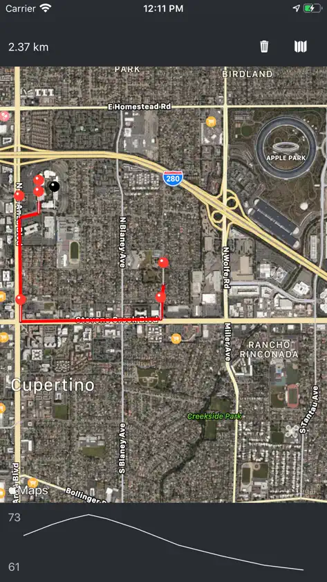
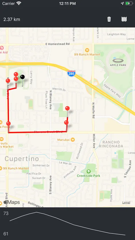
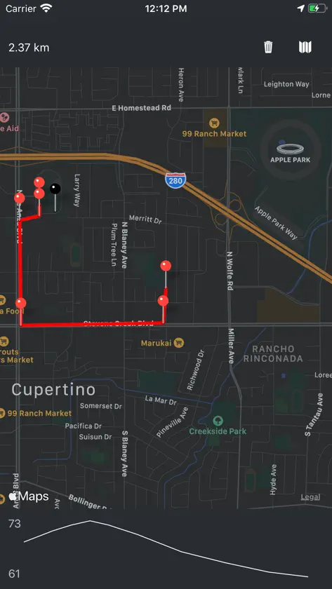
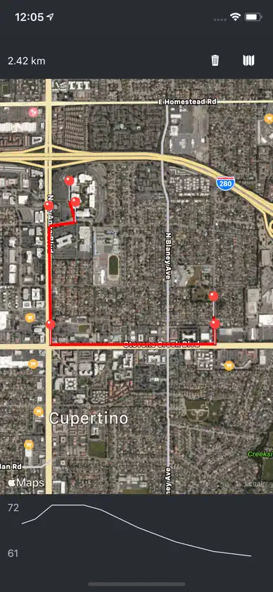
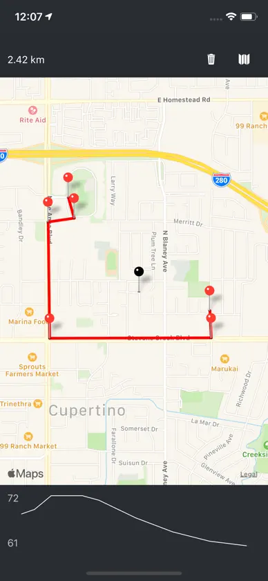
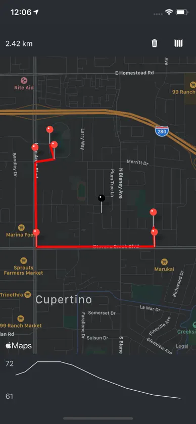
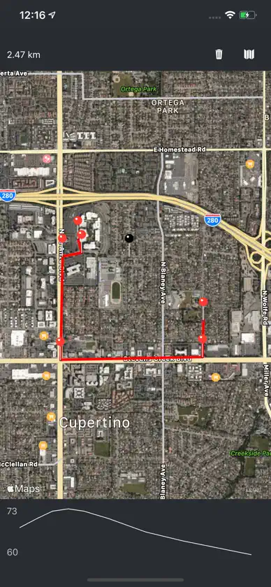
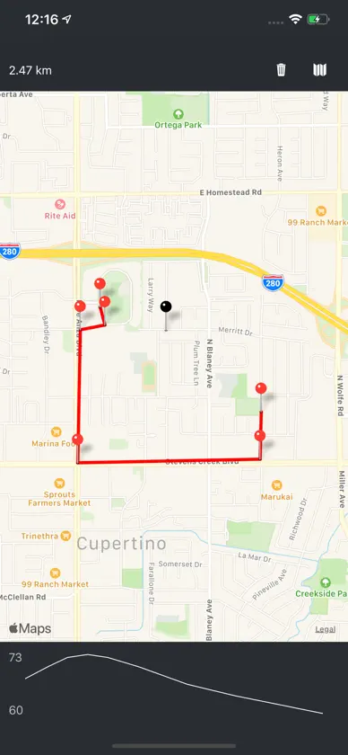
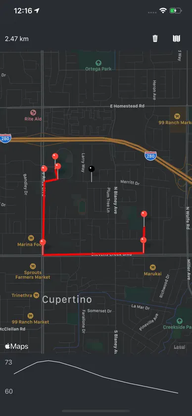
Draw a line on your map in order to measure the distance and estimate the elevation profile. Useful for creating running routes.


