
Pegel
Hans-Jurgen Beckmerhagen
No ratings yetWeatherAges 4+
Screenshots


About this app
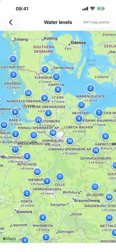
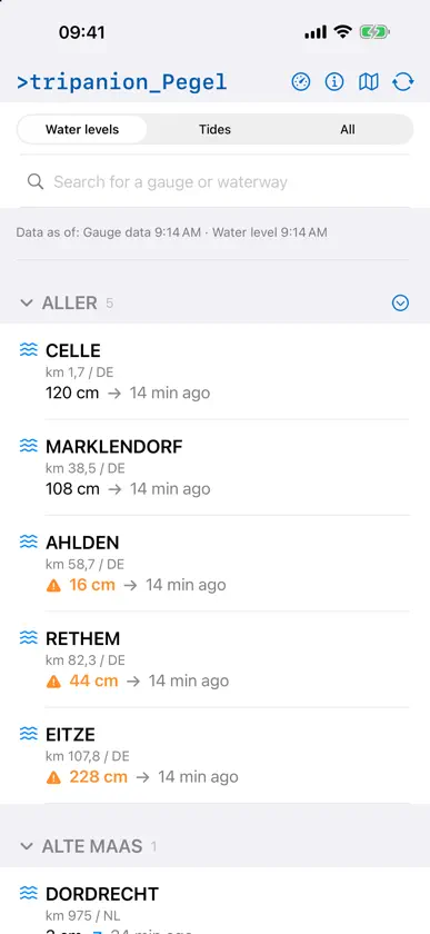
Pegel.app keeps current water levels, measurements and forecasts at your fingertips – clearly presented, quick to access and available directly on the map. The app displays gauges on rivers, waterways and coastal areas throughout Germany. The information is obtained from public data sources maintained by the Federal Waterways and Shipping Administration and other responsible authorities. Features: - Current water levels from numerous gauges - Water-level forecasts, where available - Forecast values grouped by date for several days - Measurement history and trends - Astronomical deviation between observed water levels and predicted tides, where available - High and low tide times at tidal gauges - Map with gauge locations - Sorting by name or distance - Search by gauge, waterway or region - Favourites for frequently used stations - Reference water levels and vertical datums - Water and air temperatures, where provided by the station - Sunrise, sunset, moon phase and weather information - German, English, French, Dutch, Norwegian and Spanish - For vessels 90 metres or longer, the app also calculates the permitted maximum speeds over ground on the tidal Elbe. The calculation is based on the official current data table published by the Federal Waterways and Shipping Administration and the high-water times at the four reference gauges. Whether you are monitoring a river, planning a trip, visiting the coast or spending time on the water, Pegel.app presents important water-level information in a clear and convenient format. The information shown is provided for general guidance. Official notices, flood warnings, traffic signs, instructions from vessel traffic services and nautical publications must always be followed for navigation and safety-related decisions.
What's new
Version 3.4.3 · Sep 1, 2026
The tide functions have been expanded: • For the K13A platform, the Euro platform and Goeree Lighthouse, you can choose between MSL and ALAT. • German North Sea tide gauges support switching between the gauge zero point (PNP) and nautical chart zero (SKN) at suitable stations. • Forecast times can be displayed either in the station’s local time or in UTC.
More from Hans-Jurgen Beckmerhagen


You might also like
All apps like Pegel → PegelWatchFelix Schick
 Seepegel - Pegelstand BodenseeJoerg Klausewitz
 Wassertemperatur & PegelHans Poreda & Lovis Steinmayer Softwareentwicklung GbR
 HochwasserWachePHILIPP PALENIK
 PegelAlarm: Flood & Rain alertSOBOS GmbH
 FlyLabDietrich Peters
 NOAA Marine Buoy and WeatherAnthony Piscopo
 High Tide: Charts & WidgetsTassilo Bouwman
 Marine BarographStarpath Corp
 First Chair: Mountain SafetyWolfgang Teves