
TrekStudio
Manuel Baella Vidal
No ratings yetNavigationAges 4+
Screenshots
About this app
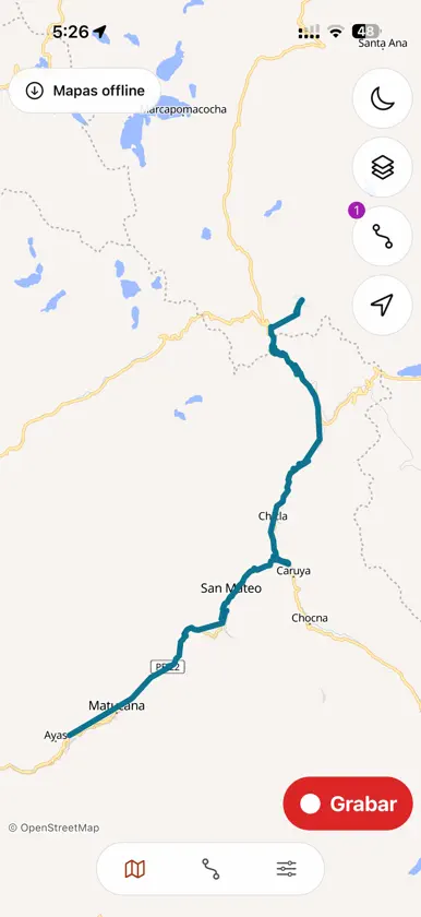
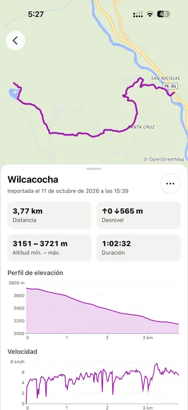
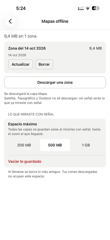
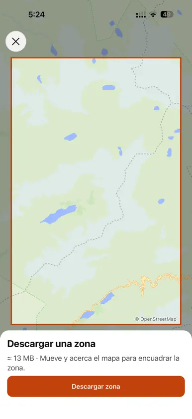
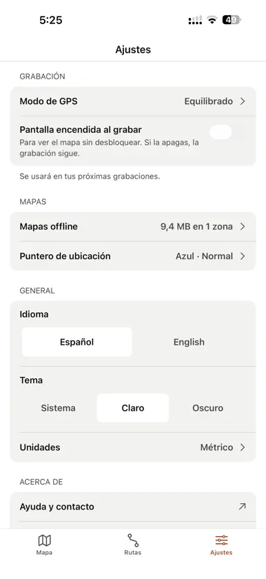
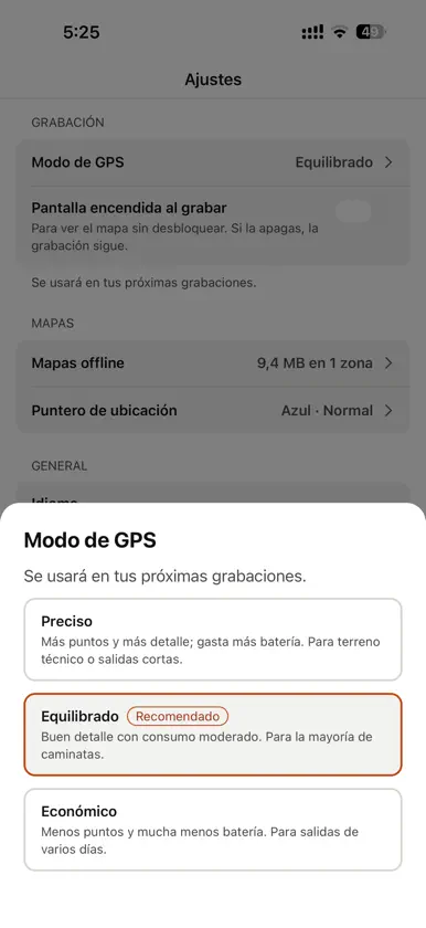
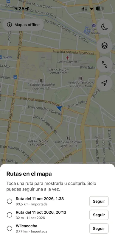
TrekStudio is an app to record your hikes and follow tracks in the mountains, built for places where there is almost never any signal. RECORD YOUR HIKES • Record with the screen off or the phone in your pocket. • Three GPS modes to choose between more detail or more battery. • On phones with a barometer, elevation gain is measured more precisely than with GPS alone. • Get a reminder if you paused and keep walking, or if it looks like you are in a vehicle. FOLLOW TRACKS WITHOUT GETTING LOST • Import GPX or KML files from any trail site or app, or share them to TrekStudio. • Show several tracks at once, each in its own color, and choose which one to follow. • See your distance to the track while you walk and get an alert if you go off route, even with the phone locked. MAPS FOR WHEN THERE IS NO SIGNAL • Four layers: Map, Topographic with relief, Outdoor with contour lines and Satellite. • Download the map of a track or any area before you go, with the size it will take and a warning if you are not on Wi‑Fi. • 3D terrain view from the map, also without signal if you download the area with 3D terrain. • What you view with signal is also saved on your phone. STATS FOR EVERY TRACK • Distance, duration, moving time, speeds, minimum and maximum altitude and elevation gain. • Elevation profile and speed chart. • Export any track as GPX to share or keep it. YOUR DATA IS YOURS No account, no ads and no analytics. Your tracks and location are stored only on your phone. Maps © OpenStreetMap. Satellite, Topographic and Outdoor: Powered by Esri (Outdoor with data from TomTom and Garmin). 3D terrain: Mapterhorn (Copernicus GLO‑30). Only the Map layer (with the 3D terrain, if you choose it) can be downloaded by area; Esri layers are kept after viewing them with signal.
What's new
Version 1.1.0 · Oct 28, 2026
• 3D terrain view from the map, also without signal if you download the area with 3D terrain. • When downloading a map you see how much space it will take, and you can add 3D terrain to areas you already downloaded. • More reliable recording on Android with the phone locked. • The vehicle alert now also detects slow vehicles on dirt roads. • Discarding a track now needs a long press, so it is not deleted by mistake.
You might also like
All apps like TrekStudio → Atlas Photo Map of TravelsCamille HAIDAR
 MyMapPointsHiot AS
 My Travel Map: Trip TrackerDigital Palette LLC
 907 Navigation AppSolidappmaker
 Pueblos más Bonitos de EspañaASOC LOS PUEBLOS MAS BONITOS DE ESPANA
 GPS Tracker: Run Walk DriveIvanna Blinova
 LineaTransportes Linea S.A.
 Taxi SonrisasAntonio Ramos
 Speed Cameras Spain & PortugalLittle Mouse Software
 TitsaTransportes Interurbanos de Tenerife S.A.U.