
Memory-Map
Memory-Map
No ratings yetNavigationAges 4+
Screenshots






About this app
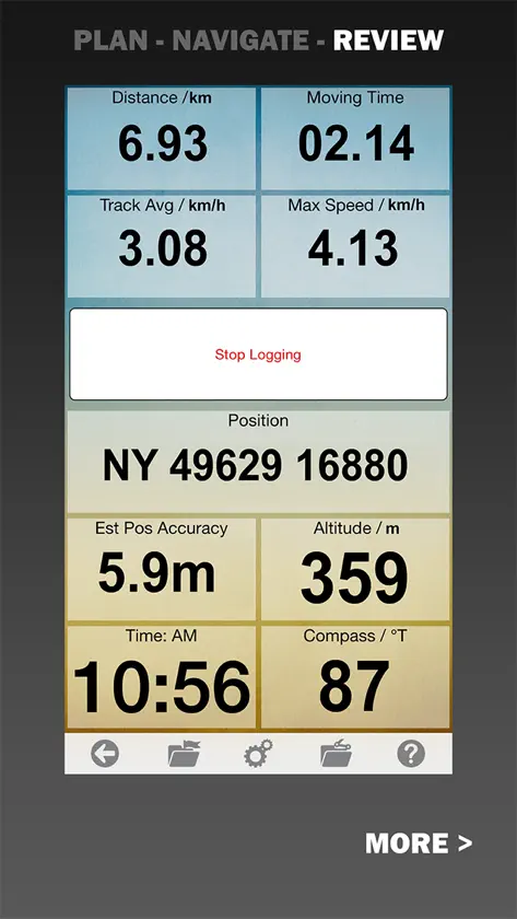
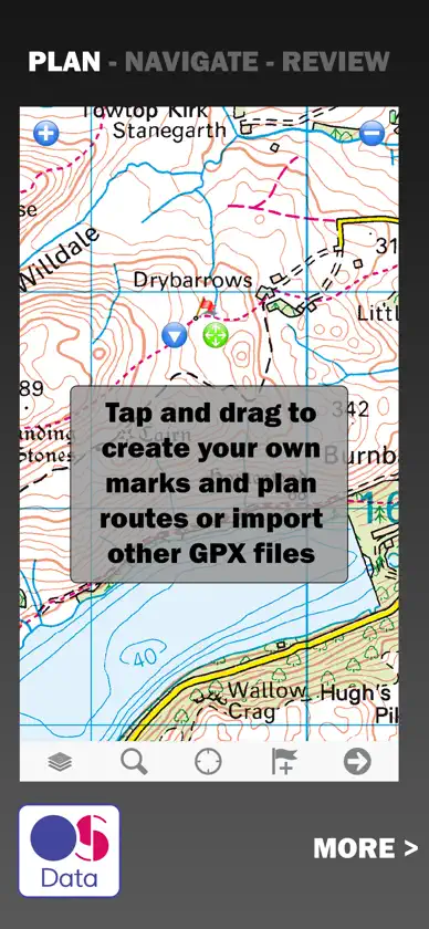
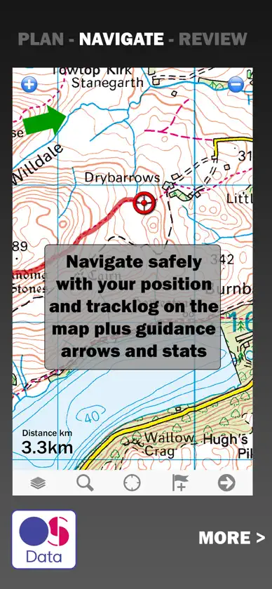
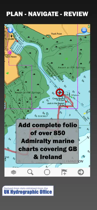
The UK's most popular outdoor GPS app for walking, cycling, hiking, off-road driving, aviation or marine enthusiasts. Choose from a wide range of maps including Ordnance Survey Explorer and Landranger maps, CAA aviation or UKHO Admiralty marine charts. Purchase in app or access your existing maps from your Memory-Map account. All the maps and charts you choose are downloaded and stored offline on your device so you can safely navigate even without phone signal. To save battery life you can choose whether or not to continue recording your GPS tracklog when the app is in background. ***** “A fantastic way to use OS maps” Ordnance Survey ***** “Plan routes and track progress - excellent app” Country Walking magazine ***** “Email routes from your PC or Mac straight to your mobile – simple” Trail magazine ***** “Best App Tested” Sailing Today ***** “Turns your phone into an outdoor GPS” Outdoor Photography ***** “Never get lost again” Horse + Hound Simple and easy to use: PLAN a route in app, CloudSync from Memory-Map on your PC, Mac or use a GPX file NAVIGATE with your GPS position on screen and DigitalGPS displays REVIEW your tracklog on the map and check stats including time, speed and distance. It’s the easiest and simplest way to make sure you don’t get lost outdoors. + Full Great Britain coverage with OS Landranger 1:50,000 maps + Full Great Britain coverage with OS Explorer 1:25,000 maps + CAA VFR Aviation charts for GB and NI + Over 850 marine charts derived from UKHO Admiralty + Maps and charts stored offline on your device to navigate even without phone signal + See your position on maps and charts that look exactly the same as the paper originals Plus advanced GPS features: + Plan routes, measure distance and bearings + Routes snap to roads or footpaths; optimized for walking, cycling, or driving + Create and edit waypoints with web links + Import and export GPX files + Customisable DigitalGPS data displays with all the nav data and stats you’ll need + Screen lock prevents accidental screen touches while track recording + User On/Off setting to record tracklog in background and optimise battery life + Lat/Long, UTM and British National OS Grid coordinates + Share position, waypoints or tracklogs as GPX files + Connect to NMEA instruments and AIS via a WiFi gateway + AIS collision alarms, Anchor alarms and proximity alarms use notifications. Memory-Map - navigating you outdoors safely with digital maps since 2001. With thanks to our hundreds of thousands of users worldwide. Battery Use Disclaimer: "Continued use of GPS running in the background can dramatically decrease battery life."
What's new
Version 2.4.0 · Sep 9, 2021
Main-screen data boxes enhanced (tap-and-hold at edge of screen) Display GPS range-rings (GPS Settings) New Odometer data item (tap-and-hold to reset, pause or rename) Access overlays list from main screen toolbar Improved many dialog layouts
In-app purchases
The most popular purchases on the App Store.
- USGS Topo WYConsumable299.000đ
- USGS Topo WVConsumable299.000đ
- USGS Topo WIConsumable299.000đ
- USGS Topo WAConsumable299.000đ
- USGS Topo VAConsumable299.000đ
- USGS Topo UTConsumable299.000đ
- USGS Topo TXConsumable299.000đ
- USGS Topo TNConsumable299.000đ
- USGS Topo SDConsumable299.000đ
- USGS Topo SCConsumable299.000đ
More from Memory-Map

You might also like
All apps like Memory-Map → Billy Goat OffroadEquibs Solutions Pty Ltd
 ExplorOz TravellerI.T. Beyond Pty Ltd
 NewtracsNewtracs Trading Pty Ltd
 Marine Navigation LiteMarco Palaferri
 Meridian: Camping & 4WD MapsCooper Jacob
 CampediaCampedia
 WaterNavRiver Canal Rescue
 Imray NavigatorFB Imray Laurie Norie & Wilson GmbH
 TerrainOneTERRAINONE PTY LTD